

Tree Report Limpsfield Chart: do you need one?
Tree report Limpsfield Chart should answer the real question behind the request, not simply add another document to the file. The strongest submission keeps tree references consistent from survey through to the AIA, Method Statement and Tree Protection Plan. When drawings use different revisions or tree numbers, avoidable questions tend to follow.
Tandridge combines established towns, historic villages, Green Belt and wooded residential plots. Mature boundary trees, protected trees, conservation-area controls, access, drainage and the relationship between new development and landscape character can all matter to a planning or property decision.
If you are working to a planning deadline in Limpsfield Chart, say so at the start. The scope can then be reviewed against the information available and the stage the application has actually reached.
Tree reports for Tandridge District Council applications
If your application is being handled by Tandridge District Council, use the current validation request, planning condition or tree-officer wording as the brief. A tree report Limpsfield Chart should answer that live requirement and stay tied to the latest drawing revision.
Tandridge District Council publishes dedicated guidance for Tree Preservation Orders and conservation areas. The council states that there are around 900 TPOs in the district and 19 conservation areas, so protected-tree status and conservation-area controls are worth checking early rather than after the design is fixed.
Check current Tandridge District Council planning information ↗
For tree report Limpsfield Chart, send the exact request and the current information you already have. That keeps the inspection and report focused on the decision somebody is actually trying to make.
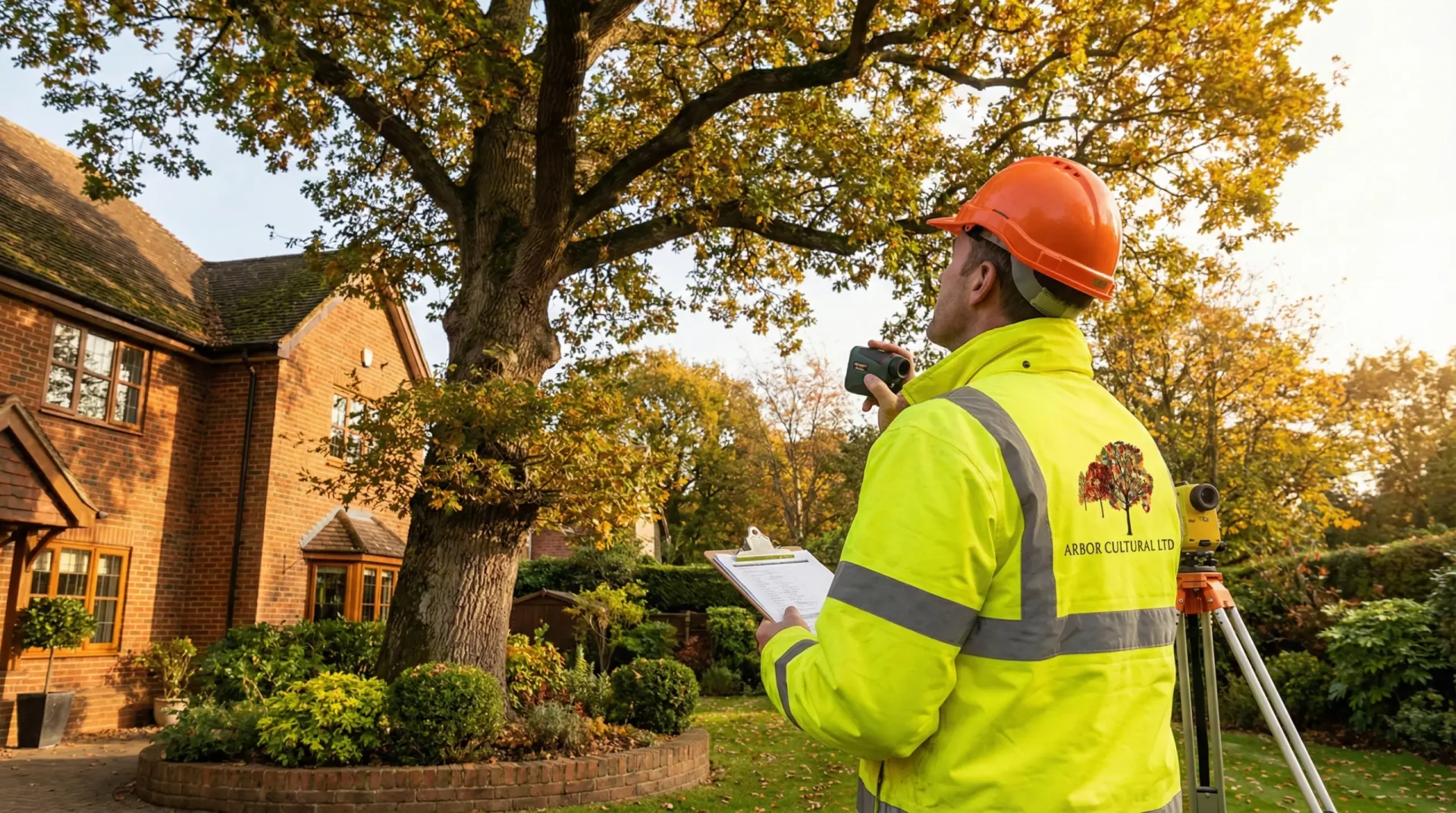
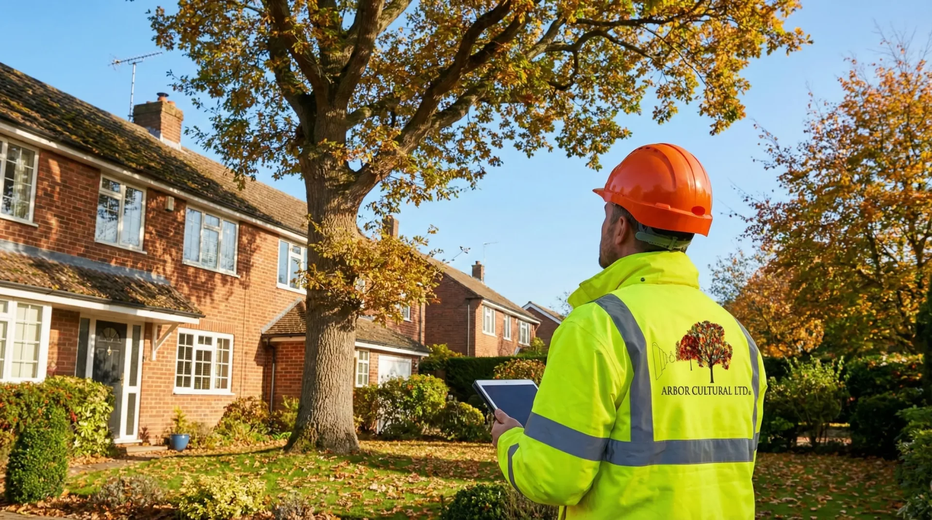
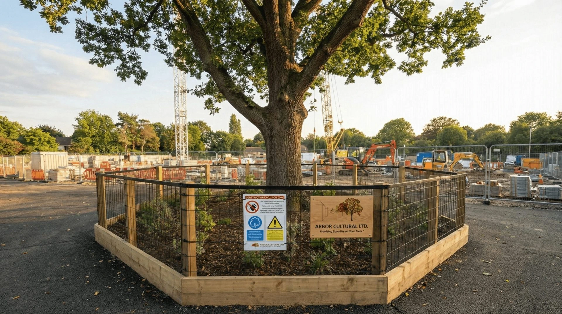
Tree Report Limpsfield Chart for a BS5837 planning application
A tree report Limpsfield Chart can begin with a BS5837 tree survey and then develop into the planning documents that the scheme actually needs. The useful sequence depends on the current design, the planning authority wording and whether the application is at validation, design review, determination or condition-discharge stage.
What should a tree report Limpsfield Chart cover?
For most planning projects, the report should explain which trees are relevant, how they relate to the proposal and what needs to happen next. A tree report Limpsfield Chart may draw on tree categories, crown spreads, Root Protection Areas, proposed removals, retained-tree relationships, access, excavation, levels, services and construction space.
Where the design is already developed, a tree report Limpsfield Chart should stay tied to the latest architectural revision. If the house footprint, driveway, drainage, services or site access changes, the arboricultural information should be checked against that revision rather than left describing an older scheme.
Tree Report Limpsfield Chart and local project details
On infill or constrained plots, the building footprint is only part of the question. Parking, turning, bin routes, drainage and construction access can all influence retained trees and should be considered together.
When you request a tree report Limpsfield Chart, include the site address, current layout and any Local Planning Authority wording. If an earlier tree survey already exists, send that too so the consultant can decide whether it remains usable or needs updating.
From Tree Report Limpsfield Chart to AIA, AMS and tree protection
The tree report Limpsfield Chart is often one part of a wider BS5837 sequence. An Arboricultural Impact Assessment explains the effect of the proposal; an Arboricultural Method Statement deals with sensitive construction methods; and a Tree Protection Plan turns protection requirements into a drawing the site team can follow.
Related BS5837 planning services
The report may lead into another specialist service when the evidence shows that further work is genuinely required. Use the links below if you already know which technical route applies.
- BS5837 tree reports
- Arboricultural Impact Assessments
- Arboricultural Method Statements
- Arboricultural supervision
Nearby Surrey areas
If the site or property is close to Limpsfield Chart but belongs under a neighbouring town, use the nearest local page below. The same consultancy can confirm coverage from the postcode, and this page remains the right starting point for enquiries specifically in Limpsfield Chart.